The weather forecast was pretty bad for last weekend but we are aware that during the TGO Challenge in May, we will have to walk whatever the weather. We therefore decided to try to get out anyway. Not knowing many decent long circular low level walks (please send us suggestions if you know of any!), we decided to try for Beinn Bhuide, which includes a very long walk-in along a flat track from the head of Loch Fyne. We were hoping that by the time we started ascending, the weather might have cleared up. We also knew there was easy parking for the campervan for both Friday and Saturday night.
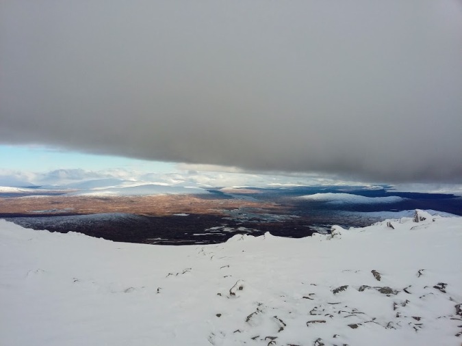
It was an extremely dark and wet drive up on Friday night and sounded just as wet when we woke up on Saturday morning. Having finally beaten the struggle to get up, we headed off in all our waterproofs up the track towards the Fyne Ales brewery (Achadunan brewery on the OS maps). It is a long trudge along the bottom of Glen Fyne and many people cycle it. The river was very high and flowing seriously fast, as were all the channels coming off the hillside: it was an impressive sight through the mist.

The River Fyne looking scary
Eventually, you come to a gate, where a sign asks bikes to be left, and you walk through some hazel woods. We passed a closed up lodge, Inverchorachan, and started to climb, following a path from just the other side of the second gate through the deer fence. The path was quite steep and muddy, but leads up the south side of a gorge, where the stream was raging just on our right. We could see the water tearing off pieces of the bank and throwing up the stones at the edges: it was pretty spectacular.
Before the gorge widened out, there was one particularly tricky but short section, that definitely requires hands on rock. It’s probably not too much trouble in the dry, but is definitely something to think about in the wet if you aren’t confident with that sort of thing.

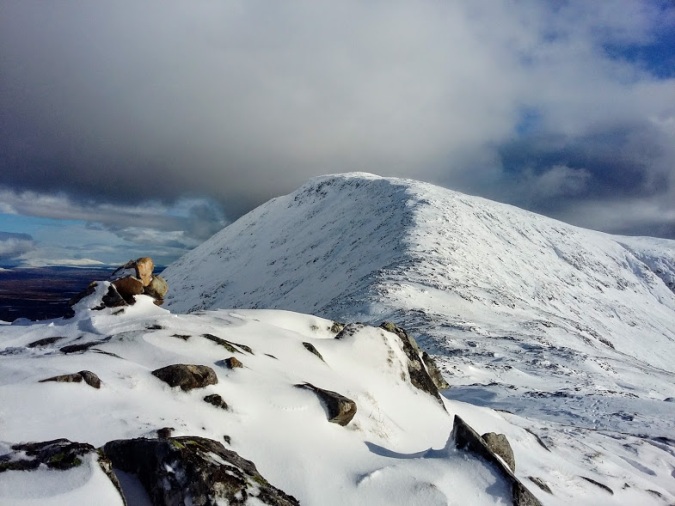
The stream above Inverchorachan was very impressive and we were pretty wet.
Beyond this, there was a big waterfall coming down the head of the valley, and the sun actually came out for a few minutes, allowing us to eat a sandwich in the dry and admire the scenery.
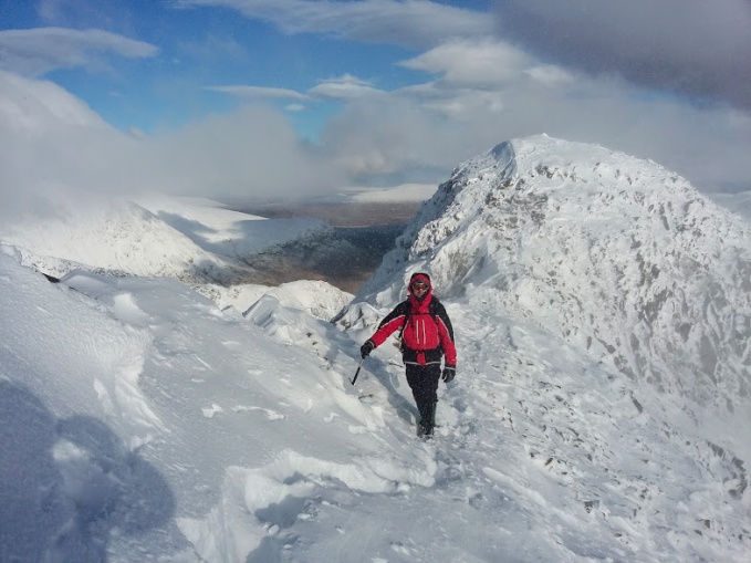
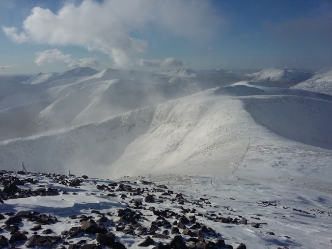
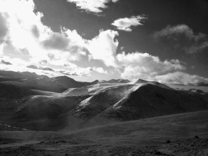
Having dried out ever so slightly we set off again, trying to follow the path that was occasionally visible between the snow patches. The sun didn’t last long and the drizzle soon had us putting our hoods and gloves back on. The ground was quite eroded by water and soon became steeper again as we moved up on the left of the large waterfall. The snow was slippery and the ground wasn’t frozen meaning progress was fairly slow.

Once up onto the next flatter section, the path crossed several streams. The first just required a minor detour, but the next was definitely not possible at the usual crossing point, so we followed it upstream to try to find somewhere safer. The wind had picked up and it started raining heavily, quickly soaking us again. Having seen the sunshine, I felt more demoralised than I had before drying out. We struggled along the steep stream bank, passing a fork – meaning we now had two streams to cross rather than one – and eventually found a suitable spot. It was very fast and deep, preventing us being able to place our poles in it for balance, but was easily jumpable.
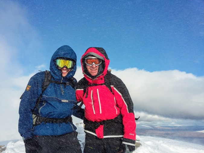
As we started back down the other side looking for the path and somewhere to cross the next one, we were both starting to think this was not going to be an easy summit. We were now walking away from our destination, which was totally in cloud, and all we could see were a lot of steep hillocks rising into the murk, which in poor visibility was going to be a nightmare to navigate. We managed to cross the next stream but we had lost a fair bit of time and it was now around 1.30pm. We sheltered behind a rocky outcrop, had some food and discussed our options. We were still 1.5km from the summit. There were more streams that might prove impossible to cross. There was a steep section ahead that would be tricky in the horrible melty snow. There wasn’t going to a be a view. We had a long walk out even from where we were, and importantly, if we headed back now we’d be down in time for a beer at the brewery! We had some hot squash and turned around.

It took a while to get down the steep sections but we didn’t encounter any problems. The weather also continued to tease me into taking my waterproofs off before raining again 10 minutes later. The track out along the valley definitely feels long on the walk back but some dancing Highland cows and the biggest herd of deer I’ve ever seen provided some distraction.
And we did indeed make it to the brewery in time for a drink and a venison sausage roll.
Details
Distance: 21.5km if you make it to the summit (we walked about 18.5km)
Munro summit: Beinn Bhuidhe (948m)
Region: Argyll
Time: 7 hours without reaching the summit in unpleasant conditions (7-8 hours usually)
Comments:
Don’t be afraid to turn around if you’re not having fun! Yes, it’s good to get to the top but you are also out there to have a good time! Also, take a bike.